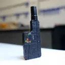
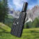

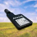
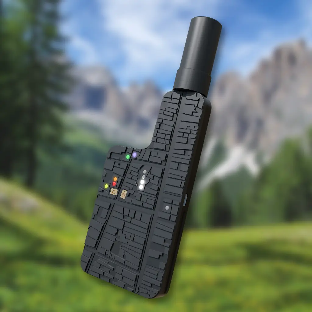

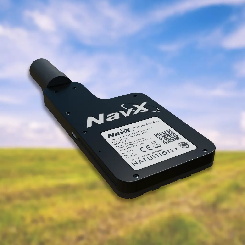
NavX
This device allows you to carry out GPS point surveys and measure distances accurately, without a subscription, using international satellites.
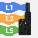
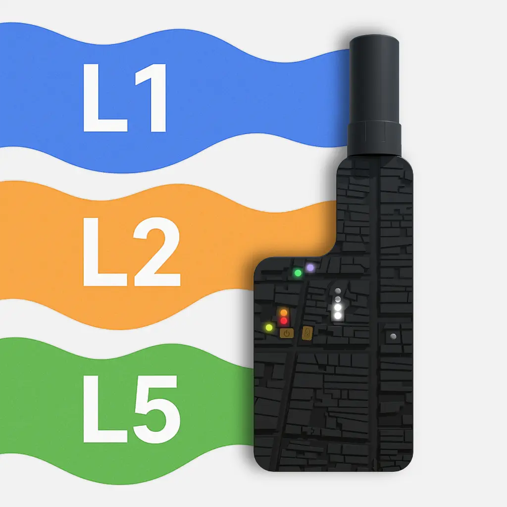
Developed with the support of the Centipede-RTK network, which we sincerely thank, NATUITION offers NavX: a multi-frequency Bluetooth BLE GNSS RTK rover (L1, L2, L5) providing simple and reliable centimetre-level positioning.
This product is strictly reserved for professional use.
1-year warranty.
Why choose NavX?
The triple frequency enables RTK convergence in just 10 seconds, compared to 30 seconds for dual-band devices. Centimeter-level accuracy is maintained even near buildings, where others lose precision.
NavX is energy autonomous. It connects wirelessly to your smartphone via Bluetooth Low Energy, preventing premature wear of the phone’s charging port. With BLE, no pairing is required: the connection is established in 1 second, without cables or complex setup.
NavX comes preconfigured for multiple uses based on parameters validated by Centipede experts. It is also compatible with the webserial.centipede.fr platform, allowing users to benefit from ready-to-use professional settings: positioning near buildings, in clearings, under forest canopy, as well as future profiles for use at sea, in high altitudes, or in other regions of the world.
Additional information
By purchasing this product, you will receive:
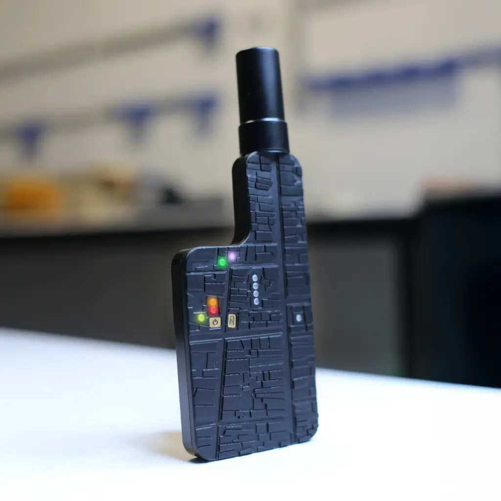
- Rover NavX
- Active multi-band GNNS L1/L2/L5 Quad Helix SMA antenna
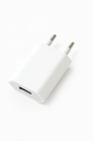
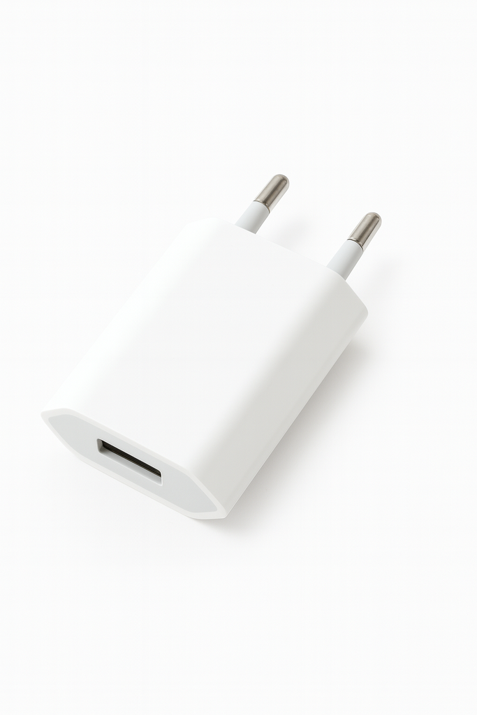
- 5 V, 1 A wall USB charger
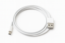
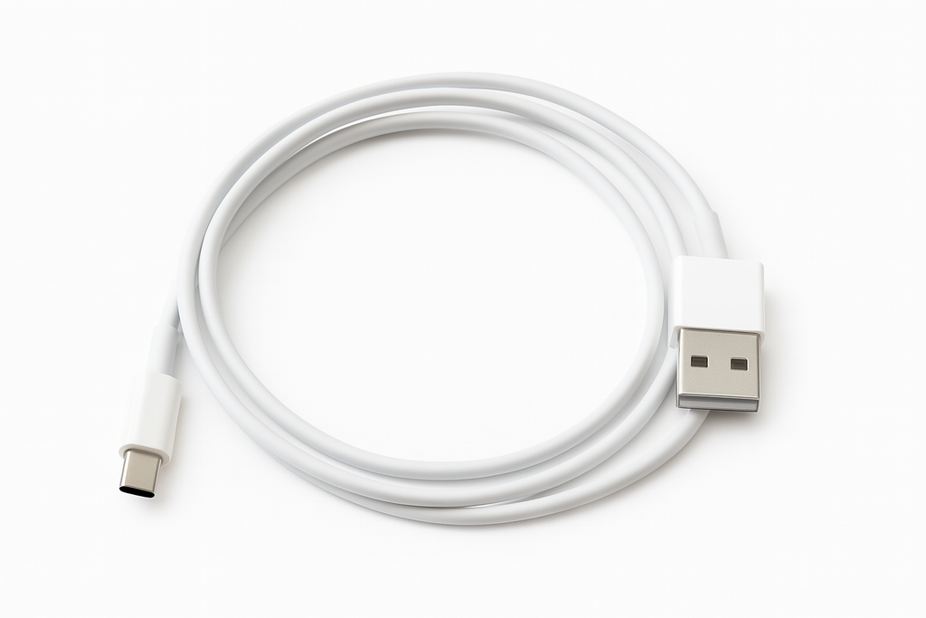
- 1 m (39.4 in) USB-A to USB-C charging and data cable
Dimensions H / Dia 78.7 x 14 x 156 mm (without antenna and SMA port)
78.7 x 14 x 215 mm (with Quad Helix SMA Antenna)
Weight 200 g
Operating time Up to 6 h
Dimensions H / D 58.6 mm / Ø27.5 mm
Poids > 20 g
T° de fonctionnement –40°C à +70°C
Indice de Protection IP67*
*full dust protection and temporary water immersion resistance (1 m / 30 mins)
Frequently Asked Questions
📍 Precise point surveying : rapid boundary marking, measuring limits, landmarks, structures and equipement.
🚩 Field staking-out : marking points, areas and alignments from coordinates.
🗺️ Mapping & Inventory : creating field maps in a compatible application such as SW Maps, QField or QGIS.
🚧Roadworks, Public Works & Utility Mapping : georeferencing irrigation and watering systems, locating valves, cables or any other buried infrastructure.
🌳Agriculture, Landscaping & Green Spaces : monitoring plots, identifying intervention areas, observation points and positioning plantings.
⛳Sports Grounds, Golf Courses & Local Authorities : locating sprinklers, dry areas, furniture, borders, equipment or maintenance point.
🏗️ Real Estate, Construction & Civil Engineering : preparing projects, carrying out field surveys, staking out construction sites, checking buondaries and earthworks
🎪Event and Festival Layout : accurately positioning stages, bars, stands, toilets and other temporary structures, as well as defining entrances, exits and technicals areas.
🏠Cadastral Map Visibility : viewing parcel plans using a compatible application such as SW Maps.
To use NavX, you need :
- An Android/IOS smartphone or tablet
- a compatible GNSS application
- mobile internet access if you use RTK corrections via NTRIP
- a compatible RTK network, such as Centipede-RTK, or a local RTK base
- sufficient GNSS coverage : ideally outdoors with a clear view of the sky
NavX is compatible with the tools and protocols commonly used for GNSS RTK surveying. Below is a non-exhaustive list of compatible applications.
Free applications :
- SW Maps (recommandé)
- QGIS
- QField
- NTrip Client
Paid applications :
- ArcGIS
- Survey123
- Field Genius
- SurvPC
- Survey Master
NATUITION is currently developing a dedicated NavX application, designed to simplify your field surveys and adapt to your specific workflow through an intuitive user interface.
To achieve centimetre-level accuracy, NavX must be used outdoors, preferably away from buildings and under suitable GNSS reception conditions.
The required conditions are :
- outdoor use, with a clear view of the sky
- access to the Centipede-RTK network or a compatible RTK base
- an internet connection on the smartphone to receive corrections
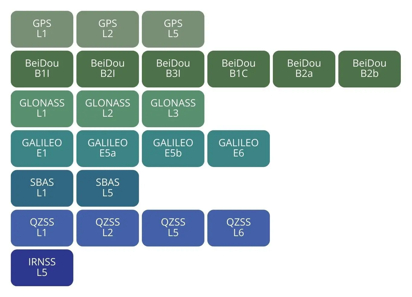
Supported GNSS bands (Quad Helix SMA Antenna)
Discount applied based on the quantities purchased